Session 1 · TRACE: Time & Place
What's in the bag?
- 10 minHook: a cloth bag holding a scrap of silk, a peppercorn, a sheet of paper, a small compass and a cinnamon stick. Pass it round. Where in the world might each one have started, and how long ago?
- 15 minRead the library's request for a 'Worlds Trade' exhibition. List what visitors might want to know. Choose a class context: our pantry, Chinese New Zealanders, or sea roads of the Pacific.
- 20 minBig map: on a large world outline, mark Chang'an (Xi'an), Dunhuang, Samarkand, Baghdad, Constantinople, Venice and the Spice Islands. Draw the land routes in one colour and the sea routes in another.
- 5 minExit card: why do historians say 'Silk Roads' rather than 'the Silk Road'?
Session 2 · TRACE: Time & Place
The Han and a hard road
- 10 minTimeline: the Han dynasty (206 BCE–220 CE). Hear how Zhang Qian was sent west by the emperor around 138 BCE, was captured and held for about ten years, and came back with news of other lands and their horses.
- 20 minHardships: in groups, research one challenge on the route (the Taklamakan Desert, the Pamir mountains, bandits, sandstorms, heat and cold). Show it on the map with a symbol.
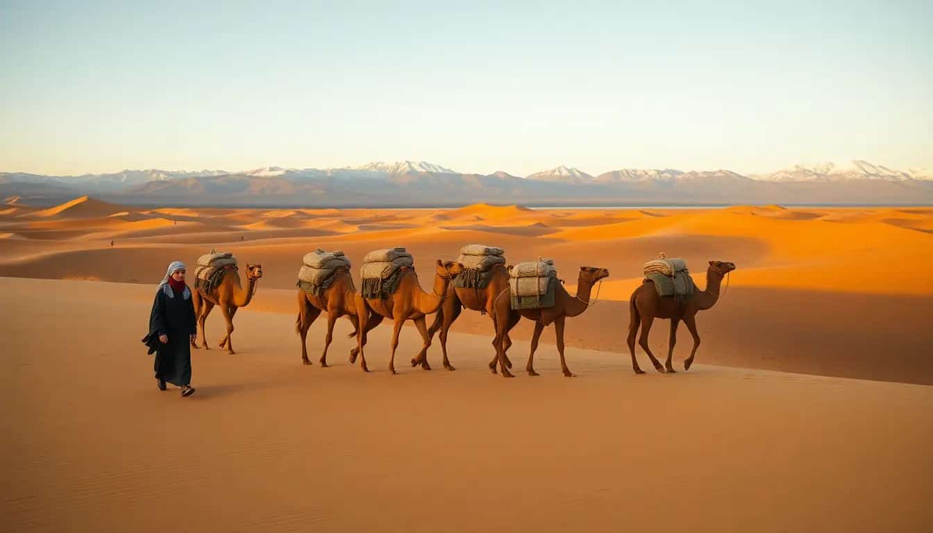
- 15 minTravel maths: a camel caravan walks about 30 km a day. How many days from Chang'an to Samarkand (about 3,500 km)? What would travellers need to carry?
- 5 minAdd oasis towns to your map. Why did cities grow up there?
Getting started
Use the partly labelled route map with the cities as picture dots.
Stretch
Find out why the Han wanted horses from Ferghana so badly, and what they traded for them.
Checkpoint
Every group has a map showing land and sea routes, at least five cities and three hardships.
Activities for this week
- Pantry trade trail: How far have the foods in your kitchen travelled?
Useful this week
- The Silk Road ↗ A clear overview of the routes, goods and people of the Silk Road.
- Exploring with GIS: A StoryMap of the Silk Road ↗ An interactive map to follow the routes city by city.
- Achievements of the Han Dynasty ↗ What the Han built and invented, including paper and the opening of the Silk Road.