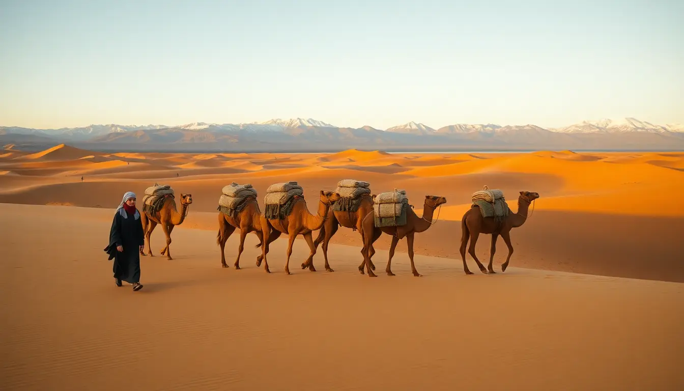
Social Sciences · World 6 of 8 · Years 7–8
Silk Roads and Sea Routes: When Worlds Trade
Follow a bolt of silk across deserts, a peppercorn across oceans and an idea across the world, and find out who paid the price.
Big question: When people trade across the world, what travels with the goods, and who gains, who loses and who resists?
- You'll make
- A 'Worlds Trade' exhibition: a giant floor map of the Silk Roads and sea routes, object cards for the goods and ideas that travelled, a traveller's journal from one real journey, and a cause-and-consequence panel that answers who gained, who lost, who resisted and what changed.
- For
- Whānau and the community at a library or school exhibition, a partner class who walks the floor map with you, and the local library or museum, which can display your object cards.
- Time
- 5 weeks · 2 sessions a week
Your mission
Why it matters
The pepper in your kitchen, the paper in your book and the compass on your phone all began their journeys centuries ago on the Silk Roads and the sea routes. Your local library wants a 'Worlds Trade' exhibition for its community week that shows how these journeys connected the world, and what they cost the people caught up in them. Your class has five weeks to trace the routes, weigh the evidence and tell the story honestly.
Almost everything you own has travelled. Trade has always carried more than goods: it spreads inventions, languages, beliefs, foods and sometimes disease. It made some cities rich, and it drove empires to take land and to enslave millions of people. Aotearoa is part of this story too. Abel Tasman arrived here in 1642 working for a Dutch trading company, and today most of what we buy and sell crosses the sea. Understanding how trade shaped the world helps you ask better questions about the things you buy and the choices countries make.
Your first step
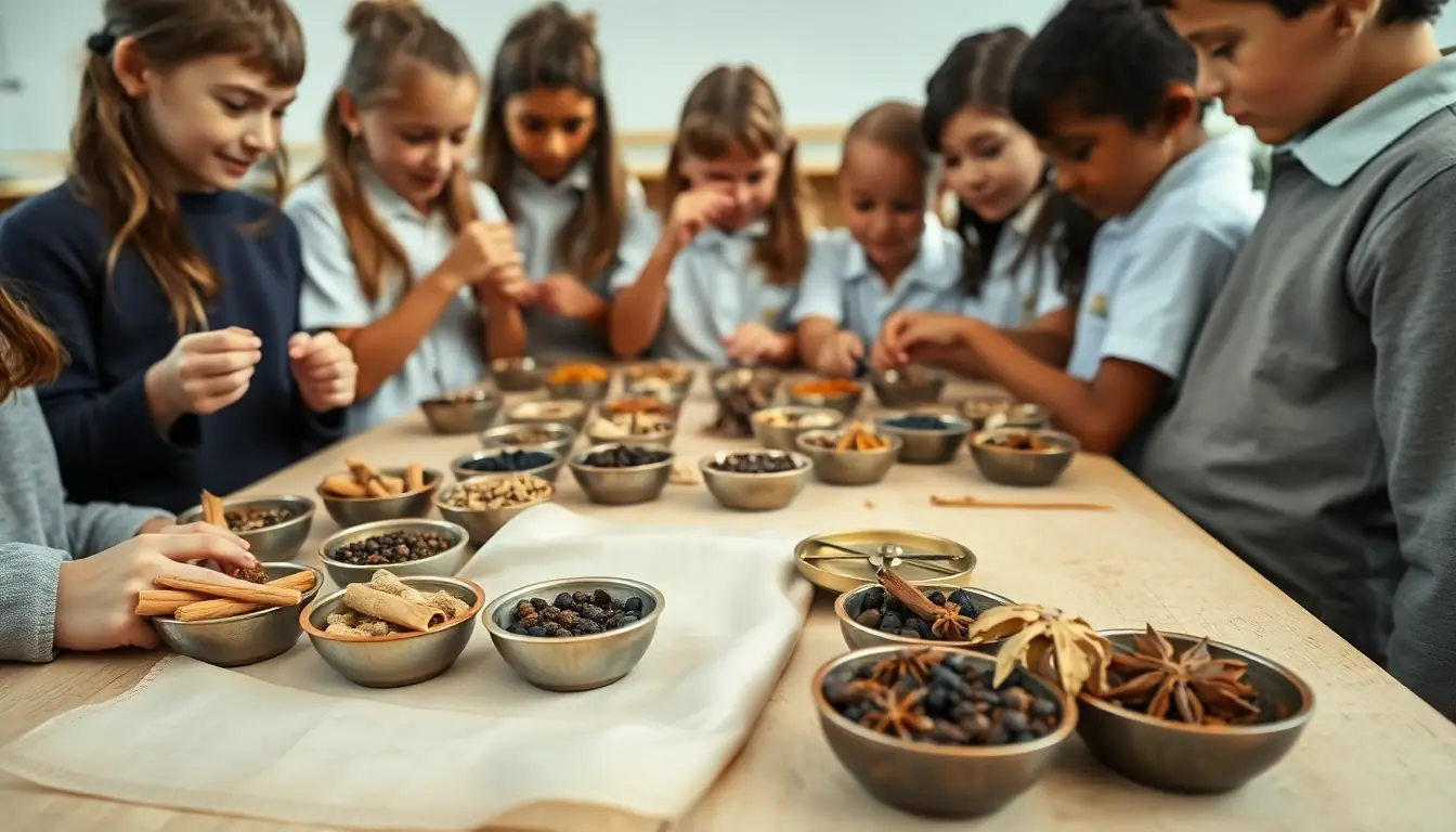
Open a kitchen cupboard at home and find three foods or spices that came from another country. Write down each one and guess where in the world it grew.
Make it yours
Choose a context
Same big question, three different places to explore it. Pick the one that fits your class and community.
The trade trail in our pantry
Start from home and the local supermarket. Trace pepper, cinnamon, tea, rice, sugar and silk back along their routes, then compare with what New Zealand trades today using Stats NZ data. Works for any school and makes the history feel close to home.
Chinese New Zealanders and the long road
Connect the Silk Roads to people here: Chinese gold miners in Otago from the 1860s, market gardeners, and the Chinese communities in your town today. Visit a local museum, a Chinese garden such as Lan Yuan in Dunedin, or invite a community member to share their family's journey, if they wish.
Sea roads of the Pacific
Set the European Age of Exploration beside Pacific wayfinding. Long before Europeans crossed oceans, Pacific navigators read stars, swells and birds to settle the largest ocean on Earth. Then follow Abel Tasman's 1642 voyage for the Dutch East India Company to Mohua (Golden Bay). Ideal for coastal schools and classes with strong Pacific connections.
TRACE
Week by week
Two sessions a week, each with Getting started and Stretch support so the whole class works together.
- W1Where and when? Mapping the Silk RoadsTime & Place: What's in the bag? · Time & Place: The Han and a hard road
- W2Merchants, monks and travellers: what moved along the routes?Relationships: The relay trade game · Relationships: Ideas that changed the world
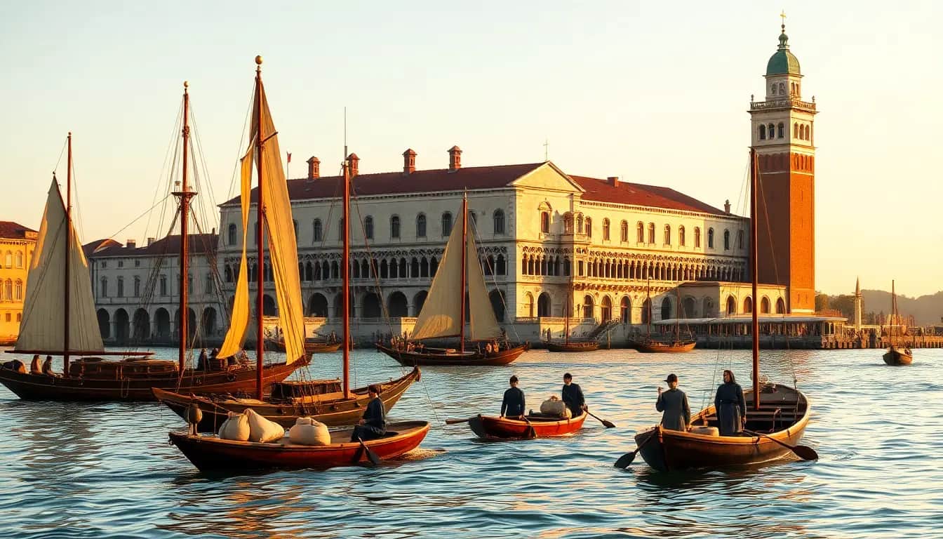
- W3Travellers' tales and a city built on spicesAccounts: Can we trust Marco Polo? · Accounts: Venice and the spice trade
- W4New sea routes, empires and the people who paid the priceCauses & Consequences: Why sail around the world? · Causes & Consequences: Conquest, colonisation and the slave trade
- W5Who gained, who lost? Build and share the exhibitionEvaluate: The comparison wall · Evaluate: Worlds Trade exhibition
Hands-on
Activities
Investigations and projects that fit the weeks above. Open one to see what you need and how you'll know it worked.
Pantry trade trailHow far have the foods in your kitchen travelled?Open
You need: five foods or spices from home or a supermarket (or their labels) · a world map · coloured string or pens · a notebook
- Choose five items: for example pepper, cinnamon, tea, rice and sugar.
- Find where each is grown or made. Check the label, then look it up.
- Draw a line from each place to your town on the map.
- Find out whether the same item travelled the Silk Roads or the spice routes long ago.
- Measure the straight-line distance for each and add them up.
How you'll know: Your map shows five trade trails with distances, and you can say which items were also traded centuries ago.
Go further: Use Stats NZ data to find New Zealand's top three imports and exports. How are they different from the goods of the Silk Roads?
Fits week 1 →Relay trade gameWhy did silk cost so much by the time it reached Rome?Open
You need: six tables set up as trading cities · silk and pepper cards · play money or counters · a price-tracking sheet · event cards (bandits, sandstorm, new word, disease)
- Each table is a city on the route, from Chang'an to Rome. Each city decides its profit and a tax.
- Start with one bolt of silk worth 10 coins. Pass it from city to city.
- At each city, add the profit and tax, and draw an event card.
- Record the price at every stop and anything else that travelled with the silk.
- Compare the final price with the start and discuss who got rich.
How you'll know: You can explain that goods passed through many traders, that each added a cost, and that ideas, words and diseases travelled too.
Go further: Replay the game with a sea route that skips three cities. What happens to the price and to the skipped cities?
Fits week 2 →Make paper like Cai LunHow was paper made, and why did it change the world?Open
You need: scrap paper torn into small pieces · warm water · a blender or stick blender (adult use only) · a mesh screen (fly screen stapled to an old frame) · a basin · old towels or cloths · a sponge
- Soak the scrap paper in warm water for at least 30 minutes.
- An adult blends it with more water into a smooth pulp.
- Pour the pulp into the basin and slide the screen in, then lift it out flat with a thin layer of pulp.
- Flip the pulp onto a cloth and press out the water with a sponge.
- Leave to dry overnight, then write or print on your paper.
How you'll know: You have a dry sheet of paper and can explain the steps. You can say why cheap paper helped ideas spread (books, letters, records and money).
Safety: Only an adult uses the blender, and it is unplugged before anyone touches the blade. Mop up spills at once and keep water away from power points.
Go further: Add flower petals or harakeke fibres to the pulp and compare the strength of different sheets.
Fits week 2 →Floating needle compassHow does a compass work, and why did sailors need one?Open
You need: a sewing needle · a bar magnet · a slice of cork or a leaf · a bowl of water · a real compass to check
- Stroke the needle along the magnet 30 times, in one direction only.
- Lay the needle on the cork and float it in the bowl of water.
- Watch it turn and settle. Check it against a real compass: which end points north?
- Move the magnet near the bowl. What happens?
- Explain how a compass helped sailors when clouds hid the Sun and stars.
How you'll know: Your needle settles in a north–south line, and you can explain why that helped Chinese sailors by about 1000 CE and, later, European explorers.
Safety: Needles are sharp. Handle them carefully, count them out and back, and keep magnets away from phones and bank cards.
Go further: Find out how Pacific navigators found their way without a magnetic compass.
Fits week 2 →Print a page: woodblock to foam blockHow did printing change who could read and learn?Open
You need: a polystyrene food tray, cut flat · a blunt pencil · water-based printing ink or paint · a small roller or sponge · paper
- Design a simple picture or a short word. Remember: it must be drawn back to front.
- Press your design firmly into the foam with the blunt pencil.
- Roll ink thinly over the foam.
- Press paper on top, rub evenly, then peel it off.
- Make five prints. Compare how long that took with copying by hand.
How you'll know: You have a set of matching prints and can explain why printing let books spread faster, from China's Diamond Sutra (868 CE) to Gutenberg's press (around 1450).
Safety: Use a blunt pencil, not a knife. Aprons on, and wash hands after inking.
Go further: Find out how Bi Sheng invented movable type around 1040 and why it was harder to use for Chinese characters than for alphabets.
Fits week 2 →Traveller's journal from real sourcesWhat was it like to travel the routes, and how do we know?Open
You need: short simplified extracts from Marco Polo, Ibn Battuta or Xuanzang · a route map · a source-detective card · paper for a journal
- Pick one traveller and read their extract twice.
- Fill in the source-detective card: who, when, why, for whom.
- Mark three places they visited on your map.
- Write three journal entries in their voice, using only details from the sources.
- Add a footnote to each entry saying which source it came from and how sure you are.
How you'll know: Your journal entries match real places and details, and each has a footnote naming its source and how reliable it is.
Go further: Find a place where two travellers describe the same city differently and explain why.
Fits week 3 →Spice smell-and-map testWhere did the spices that made Venice rich come from?Open
You need: six covered cups of whole spices (pepper, cinnamon, cloves, nutmeg, star anise, cumin) · a world map · spice picture cards
- Lift each lid and smell. Guess the spice and write your guess.
- Check with the picture cards.
- Place each card on the map where the spice grows.
- Draw the route each spice took to reach Venice.
- Discuss: which spice travelled furthest, and who controlled each part of the journey?
How you'll know: You can place at least four spices on the map and explain why spices from the Spice Islands were so valuable in Europe.
Safety: Smell only, no tasting. Keep spices away from eyes. Check the class allergy list before you start.
Go further: Find out how the Dutch East India Company took control of the nutmeg trade in the Banda Islands, and what that meant for the Bandanese people.
Fits week 3 →The comparison wallWho gained, who lost, who resisted and what changed?Open
You need: a wall or large sheet split into four columns · evidence cards from the weeks · sticky notes in two colours
- Label the columns: Who gained? Who lost? Who resisted? What changed?
- Place evidence cards from the Silk Roads in one colour and the sea routes and empires in another.
- For each card, write one sentence explaining why it belongs there.
- Look for patterns: where was trade an exchange, and where did it become taking?
- Write a class judgement answering the big question.
How you'll know: Every column has evidence from both case studies, and the class judgement uses evidence and considers more than one view.
Go further: Add a fifth column: 'What is still with us today?' and fill it with examples from Aotearoa.
Fits week 5 →Look closer
From the real world
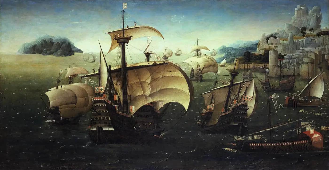
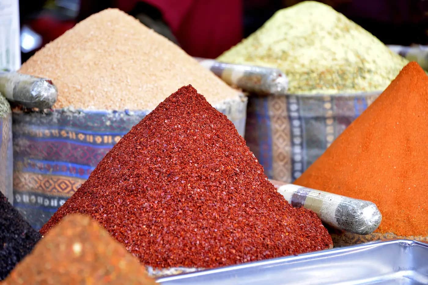
Background reading
Read to understand
Short readings written for Kōkiri Learn students, with their sources.
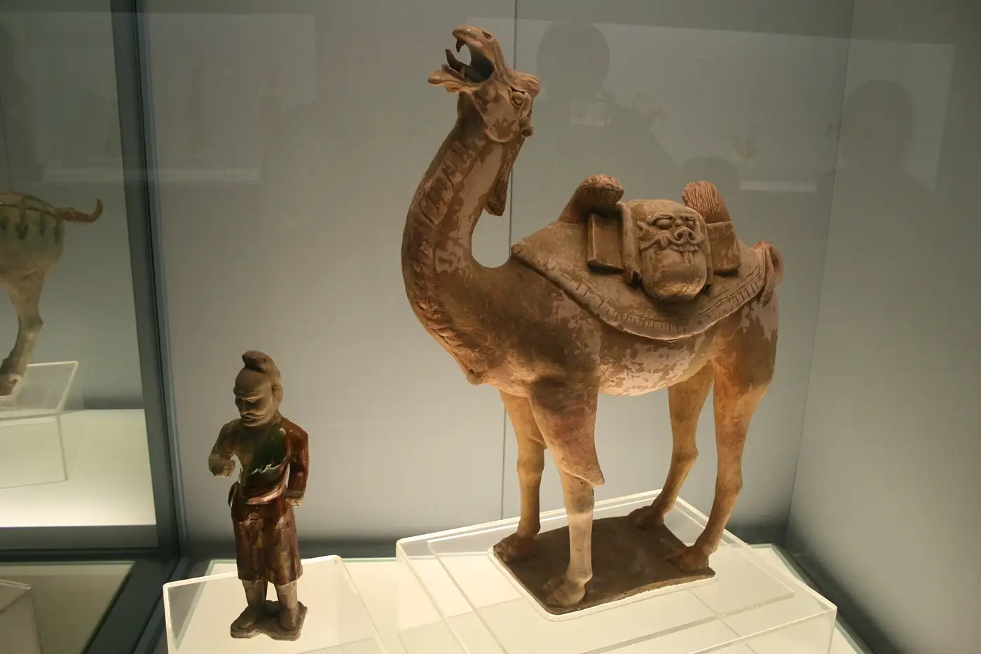
- The Silk Roads: a web across the worldMore than 2,000 years ago, trade routes began linking China with Central Asia, India, Persia and the Mediterranean. The journey was long, hard and dangerous.
- Paper, printing, compass and gunpowder: ideas on the moveFour Chinese inventions travelled the trade routes and changed the world, carried by merchants, monks and travellers.
- From Venice to the open ocean: spices and the Age of ExplorationVenice grew rich on the spice trade. When the land routes became harder to use, European kingdoms raced to find sea routes to Asia.
- Empires and the transatlantic slave tradeEuropean empires grew rich from colonies and plantations. Millions of African people were enslaved to work on them, and they never stopped resisting.
Trusted NZ sites
Explore more
Placed at the stage of the journey where each one helps.
Time & Place
The Silk Road ↗National Geographic Education
A clear overview of the routes, goods and people of the Silk Road.
Time & Place
Exploring with GIS: A StoryMap of the Silk Road ↗National Geographic Education
An interactive map to follow the routes city by city.
Time & Place
Achievements of the Han Dynasty ↗World History Encyclopedia
What the Han built and invented, including paper and the opening of the Silk Road.
Relationships
Ideas on the Move: Silk Road ↗National Geographic Education
How beliefs, inventions and ideas spread along with goods.
Relationships
Compass ↗National Geographic Education
How the compass works and how it changed exploration.
Relationships
The UNESCO Silk Roads Programme ↗UNESCO
Stories of cultural exchange between the many peoples of the routes.
Relationships
Chinese ↗Te Ara – The Encyclopedia of New Zealand
The history of Chinese New Zealanders, from gold miners to today.
Accounts
Marco Polo ↗World History Encyclopedia
The Venetian traveller's journey and why historians debate his account.
Accounts
Ibn Battuta ↗World History Encyclopedia
A Moroccan scholar who travelled further than Marco Polo.
Causes & Consequences
Canoe navigation ↗Te Ara – The Encyclopedia of New Zealand
How Pacific navigators crossed the ocean long before European voyages.
Causes & Consequences
Abel Tasman ↗NZ History
The Dutch trading-company voyage that reached Aotearoa in 1642.
Causes & Consequences
The history of the transatlantic slave trade ↗Royal Museums Greenwich
A careful, museum-written account of the trade, its scale and its end.
Evaluate
International Slavery Museum ↗National Museums Liverpool
A museum that tells the story of enslavement, resistance and its legacy today.
Evaluate
Imports and exports ↗Stats NZ
Real data on what New Zealand trades today, to compare with the Silk Roads.
Real audiences
- Whānau and the community at a 'Worlds Trade' exhibition at school or the local library
- A partner class, who walk the floor map with you as guides
- The local library or museum, which can display your object cards and traveller's journals
Work with other schools
- Swap pantry trade trails with a school in another region or a Pacific country and compare where your food comes from.
- Build a shared online map with a partner school: each class adds object cards for different cities on the routes.
- Hold a joint closing panel by video call: one class questions the other on causes, the other on consequences.
Stretch challenges
- Compare Zheng He's treasure fleets with Columbus's three ships. Why did China stop sending fleets while Europe kept going?
- Find out about the Pax Mongolica and why travel along the Silk Roads became safer under the Mongol Empire.
- Research how Pacific navigators found and settled Aotearoa, and compare their methods with those of European explorers.
- Trace a modern product, such as a phone or a T-shirt, and map every country it passes through.
- Read about Olaudah Equiano and explain how his book helped the campaign to end the slave trade.
New Zealand Curriculum
What this world covers
Mapped to the refreshed Phase 3 statements. The whole class covers both the Year 7 and Year 8 sequences over two years.
Social Sciences · Global history
The Silk Roads: the Han-era trade network and the hardships of the route; merchants, monks and travellers exchanging goods, beliefs and technologies (silk, paper, printing, the compass and gunpowder)
Year 7 sequence
Social Sciences · Global history
Venice and the spice trade, the Age of Exploration, and conquest, colonisation, trading empires and the transatlantic slave trade, including resistance and abolition
Year 7 sequence
Social Sciences · History (Aotearoa)
Traders and the exchange of goods, tools and technologies, linked through Abel Tasman's 1642 voyage for the Dutch East India Company and the later arrival of traders in Aotearoa
Year 7 sequence
Social Sciences · Financial and economic activity
Currencies and what a business is: how merchants priced goods, why prices rose along the route, and what New Zealand trades today
Year 7 sequence
Mathematics and Statistics · Measurement
Calculating travel times along the routes from distances and daily travel speeds of camels, ships and walkers
Year 7 sequence
For teachers: how to run it
This world teaches the Phase 3 Year 7 Global History content from the proposed Social Sciences statement (August 2026), in the order of the Whanganui Intermediate Cycle A Term 3 plan: the Han-era trade network and the hardships of the route; merchants, monks and travellers exchanging silk, paper, printing, the compass and gunpowder; Venice as a maritime hub and the spice trade; Atlantic states seeking sea routes and the Age of Exploration; and conquest, colonisation, trading empires and the transatlantic slave trade. It pairs with Standing Up in this subject (the 13th Amendment and Jim Crow) if Year 8 students are running that world alongside, and the comparison wall in week 5 can be shared. The shared practice focus is corroborating two sources that disagree. Teaching the slave trade: be honest and age-appropriate. Use 'enslaved people' rather than 'slaves', centre African people's humanity, cultures and resistance (revolts, the Haitian Revolution, Olaudah Equiano's writing), and avoid graphic images of violence. Never run simulations, role-plays or auctions of enslavement, even with good intentions. Tell whānau in advance, be aware of students with African, Caribbean or Pacific heritage, and do not ask any student to speak for a group. The same care applies to conquest in the Americas and the Pacific: name what happened (land taken, many deaths from war and disease) without dwelling on detail. Prep: small bowls of whole spices (pepper, cinnamon, cloves, nutmeg, star anise, cumin), a scrap of silk, a large world outline map on paper or the floor (masking tape on the hall floor works), string and pegs, scrap paper, a blender or stick blender, a mesh screen or old picture frame with fly screen, a sewing needle, a bar magnet, a cork and a bowl of water, and polystyrene food trays for printing. Safety: spices are for looking and smelling only, not tasting; check allergies and keep them away from eyes; an adult operates the blender; needles are magnetised by the teacher or with close supervision; printing uses blunt pencils on foam, not knives. Differentiation: a partly drawn route map, picture object cards and sentence starters for the source work; stretch students with the Pax Mongolica, Zheng He's treasure fleets (1405–1433) compared with Columbus, or a data look at New Zealand's top trading partners. Misconceptions to listen for: 'the Silk Road was one road' (it was a web of land and sea routes), 'one merchant carried goods all the way' (most goods passed through many hands), 'Europeans discovered empty lands' (people already lived there), and 'Britain ended slavery on its own' (enslaved people's resistance and campaigners of African descent were central). Mātauranga Māori and Pacific knowledge: present Pacific wayfinding as a navigation tradition in its own right; for Mohua (Golden Bay) in 1642, use Te Ara and NZ History, and invite local iwi or your school's iwi partners to share their perspective if they wish. Kōkiri Lab link: the permaculture market-analysis module looks at local and global supply chains, a good bridge to modern trade.
Plan this world into any term with the two-year planner. Students can record their thinking in their Kōkiri Learn portfolio.
More Social Sciences worlds
 4 weeksTō Mātou Rohe: Stories of Our Place
 5 weeksMana Motuhake: Power, Decisions and People
 5 weeksTe Awa Tupua: Rivers, Floods and People
 5 weeksWhy We Move: Migration and Belonging
 5 weeksShaky Isles: Hazards and Getting Ready
 5 weeksStanding Up: Civil Rights and Youth Voice
 5 weeksOur Money, Our Community
Ready to run it with your class?
Free trial for NZ schools. One combined Years 7–8 class, any term.