Mathematics and Statistics · World 5 of 8 · Years 7–8
Find Your Way: Maps, Angles and Coordinates
Grids, bearings, scales and stars: build a real orienteering course that gets people from start to finish without getting lost.
Big question: How do maps, angles and coordinates let us describe exactly where something is and how to get there?
- You'll make
- A scale map of a real place with a four-quadrant coordinate grid and compass rose, plus an orienteering course card of 6–10 checkpoints written as coordinates, compass directions and distances, tested by real users.
- For
- Junior classes and their teachers on outdoor education day, whānau at a school open day, and a local orienteering club or park ranger who can give feedback.
- Time
- 5 weeks · 2 sessions a week
Your mission
Why it matters
The junior classes at your school want an orienteering course for their outdoor education day, but nobody has a map that is accurate enough to use. Your class has been asked to measure the grounds, draw a map to scale with a coordinate grid, and write compass-and-distance clues that actually lead people to each checkpoint.
Every map app, delivery driver, search and rescue team and waka navigator depends on the same maths you will use here: a grid to say where, an angle to say which way, and a scale to say how far. Once you can read and make a map, you can plan a tramp, find your way in a new city, and understand how people crossed the Pacific long before GPS.
Your first step
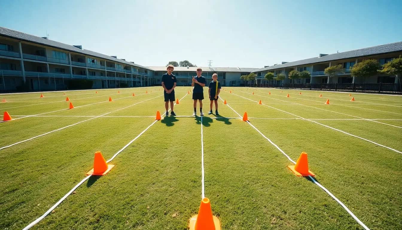
Stand in the middle of the field or court and describe to a partner exactly where the nearest tree is, without pointing. Notice every word you need: how far, which way, left of what?
Make it yours
Choose a context
Same big question, three different places to explore it. Pick the one that fits your class and community.
Our school grounds
Map the field, courts and gardens with tape measures and pacing, lay a coordinate grid over it, and set a permanent orienteering course for the junior classes. Easy to test, easy to fix, and useful every year.
A park, reserve or bush track
Use a free Topo50 map and aerial photos of a nearby regional park, DOC reserve or farm to read contour lines, grid references and scale. Design a short walking route with bearings and check it on a supervised visit.
Across the ocean: a voyaging chart
Plot islands of the Pacific on a coordinate grid, measure distances with the map scale, and explore how the star compass divides the horizon into equal houses. Plan and justify a route between islands, learning with care from Pacific navigators.
SOLVE
Week by week
Two sessions a week, each with Getting started and Stretch support so the whole class works together.
- W1Where exactly is it? Grids and directionsSee the Pattern: The 'no pointing' challenge · See the Pattern: Which way is north?
- W2How far? Measuring and drawing to scaleOrganise Information: Your pace and your scale · Organise Information: Map the grounds
- W3Reading real maps: contours, grid references and starsLink Ideas: Hills on flat paper · Link Ideas: The star compass: a circle of houses
- W4Build and test the courseLink Ideas: Writing the course card · Verify: Test run
- W5Fix it, prove it and hand it overVerify: Measure again and improve · Explain: Map launch
Hands-on
Activities
Investigations and projects that fit the weeks above. Open one to see what you need and how you'll know it worked.
Human coordinate gridHow can two numbers describe any spot on a field?Open
You need: String or chalk · 8–12 cones · Tape measure · Cards with ordered pairs
- Mark a horizontal line (x-axis) and a vertical line (y-axis) crossing in the middle of a court. The crossing point is (0, 0).
- Mark every metre along each axis from −5 to 5.
- The caller reads a card such as (3, −2). One student walks along the x-axis first, then up or down.
- Try all four quadrants. Record which signs (+ or −) each quadrant has.
- Make a shape by placing four students on points. Can the class name its corners?
How you'll know: You can stand on any point called and say which quadrant it is in and why.
Safety: Choose a flat area away from traffic and play equipment. Walk, don't run, on hard surfaces.
Go further: Reflect the shape in the y-axis. What happens to each coordinate?
Fits week 1 →Shadow stick and compass roseCan the Sun tell you which way is north?Open
You need: A straight stick about 1 m long · Small stones or pegs · A compass or phone compass · Chalk
- On a sunny day around midday, push the stick upright into the ground.
- Mark the tip of the shadow with a stone every 10 minutes for an hour.
- Find the shortest shadow. In Aotearoa it points roughly south, so the opposite way is north.
- Check with a compass. How close were you?
- Draw a big chalk compass rose around the stick with eight points, labelled with degrees.
How you'll know: Your chalk rose matches the compass within a few degrees and you can explain why the shadow points south.
Safety: Never look directly at the Sun. Wear a hat and sunscreen.
Go further: Magnetic north and true north are not the same. Find out how many degrees apart they are in your town.
Fits week 1 →Pace it, scale itHow can you measure a whole school field without a giant ruler?Open
You need: Tape measure · Grid paper · Calculator · Clipboard
- Measure out 20 m with a tape. Walk it normally and count your steps. Repeat ten times.
- Find your average number of steps, then your pace length (20 m ÷ steps).
- Pace the length and width of a court or building. Convert paces to metres.
- Choose a scale (for example 1 cm = 5 m) and draw it on grid paper.
- Check one distance with the tape. How far off was your pace estimate?
How you'll know: Your paced measurements are within about 5% of the tape measure and your drawing matches the scale.
Safety: Watch where you walk; keep off roads and car parks.
Go further: Write your scale as a ratio (1 cm = 5 m is 1:500). What would 1:50,000 mean?
Fits week 2 →Contour lines in a boxHow can a flat map show a hill?Open
You need: A clear plastic tub · Modelling clay or playdough · Water and a jug · Ruler · Clear plastic sheet or baking paper · Whiteboard marker
- Build a lumpy hill of clay in the tub, lower than the tub's sides.
- Pour in water to a depth of 1 cm.
- Look straight down and trace the waterline onto the plastic sheet laid over the top.
- Add another 1 cm of water and trace again. Repeat until the hill is covered.
- Compare your drawing with a Topo50 map. Where are the lines close together? Where are they far apart?
How you'll know: You can point to the steepest side of your hill on the drawing and explain how the contour lines show it.
Safety: Wipe up spills straight away so nobody slips. Wash hands after using clay.
Go further: Draw arrows to show which way rain would flow off your hill. Water always crosses contour lines at right angles, heading downhill.
Fits week 3 →Star compass circleHow does the star compass divide the horizon, and how does that compare with our compass rose?Open
You need: A large paper circle · Protractor · Ruler · Coloured pencils · Science Learning Hub star compass diagram
- Look at the kāpehu whetū diagram on the Science Learning Hub. Count the houses around the circle.
- Work out the angle for each house (360° ÷ 32).
- Use a protractor to divide your paper circle into equal houses. Mark the four main directions.
- Lay an 8-point compass rose over it. Which houses line up with N, NE, E?
- Write two sentences about why an ocean navigator might need more directions than eight.
How you'll know: Your circle has equal houses, and you can explain the calculation for their size.
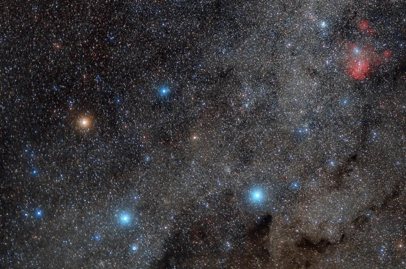
Go further: The top and bottom stars of the Southern Cross point south when it stands upright. On a clear night, find it with your whānau and sketch where it sits over your house.
Fits week 3 →Transformation treasure huntCan you move a shape across a grid using only translations, reflections and rotations?Open
You need: Grid paper with four quadrants · Tracing paper · Coloured pens · Instruction cards
- Draw a triangle-shaped 'waka' on the grid and write its three corner coordinates.
- Follow three instruction cards, for example: translate 4 right and 2 down; reflect in the x-axis; rotate 90° clockwise about (0, 0).
- Use tracing paper to check each move and record the new coordinates.
- The final position shows where the treasure is buried.
- Write your own three-step treasure trail for another group.
How you'll know: Another group can follow your instructions and land on exactly the treasure square you planned.
Go further: Find a single move that does the same job as two reflections. What do you notice?
Fits week 3 →Test-run the orienteering courseDo our clues really lead people to every checkpoint?Open
You need: Class map and course cards · Checkpoint markers · Compasses · Tape measure · Results table · Stopwatch
- Place a marker at each checkpoint.
- Give a group of testers the map and course card only.
- Follow them at a distance and record found, found after searching, or not found at each checkpoint.
- Measure the real direction and distance for any checkpoint that failed.
- Fix the clue and test again with new testers.
How you'll know: More checkpoints are found first time in the second test than in the first, and you can show the numbers.
Safety: Stay inside the agreed boundary. Walk near buildings and on hard surfaces. An adult supervises.
Go further: Time each tester and work out their average speed in metres per minute.
Fits week 4 →Look closer
From the real world
Background reading
Read to understand
Short readings written for Kōkiri Learn students, with their sources.
- Grids, coordinates and grid referencesHow two numbers can pin down any place, from a spot on the school field to a hut in the Tararua Range.
- Scale and contours: shrinking the land onto paperHow map scales let you measure real distances, and how contour lines turn a flat sheet of paper into hills and valleys.
- Directions, angles and the star compassFrom the eight points of a compass rose to the 32 houses of the kāpehu whetū, direction is all about dividing a circle.
Trusted NZ sites
Explore more
Placed at the stage of the journey where each one helps.
See the Pattern
Cartesian coordinates ↗Maths Is Fun
Clear diagrams of the coordinate plane and all four quadrants, with practice.
See the Pattern
Degrees (angles) ↗Maths Is Fun
What a degree is and why a full turn is 360°.
Organise Information
New Zealand topographic maps ↗Toitū Te Whenua Land Information New Zealand
The official Topo50 maps, with scale, contours and grid, used by emergency services.
Organise Information
Topo50 map chooser ↗Toitū Te Whenua Land Information New Zealand
Download a free map sheet for your own area.
Link Ideas
NZ Topo Map ↗NZ Topo Map
Zoom and scroll the whole country's topographic maps online and find grid references.
Link Ideas
LINZ Basemaps ↗Toitū Te Whenua Land Information New Zealand
Aerial photos of all of Aotearoa to compare with your hand-drawn map.
Link Ideas
The star compass – kāpehu whetū ↗Science Learning Hub
How navigators divide the horizon into 32 houses, explained by the people who use it.
Link Ideas
Wayfinding ↗Science Learning Hub
How voyagers found their way using stars, swells, birds and the Sun.
Verify
Orienteering New Zealand ↗Orienteering New Zealand
Find a local club and school events, and see how real orienteering courses are set and checked.
Verify
Know before you go ↗Department of Conservation
How to plan a safe trip outdoors before testing a route in a park.
Explain
Canoe navigation ↗Te Ara Encyclopedia of New Zealand
The history of Pacific voyaging to Aotearoa, for explaining your voyaging chart.
Real audiences
- A junior class using your course on their outdoor education day
- Whānau at a school open day or sports day
- A local orienteering club, park ranger or Scouts/Girl Guides leader who can check your map
Work with other schools
- Swap course cards (with grid, scale and compass rose) with a class at another school, use their map of their grounds from photos only, and send back which clues you could follow.
- Build a shared online map with a partner school in a different part of Aotearoa: each plots its school on a coordinate grid of New Zealand and works out distances and directions between them.
- Hold a joint orienteering event: each class sets half the checkpoints on a shared park map and tests the other class's clues.
Stretch challenges
- Find the grid reference of your school on a Topo50 map and plan a 2 km loop walk nearby, listing each leg's bearing and distance.
- Find out how GPS uses satellites and distances to work out where you are, and explain it with a diagram.
- Enlarge your school map by a scale factor of 2. What happens to the lengths? What happens to the area?
- Use LINZ Basemaps aerial photos to measure the length of a local river, beach or harbour. Explain how you dealt with the curves.
New Zealand Curriculum
What this world covers
Mapped to the refreshed Phase 3 statements. The whole class covers both the Year 7 and Year 8 sequences over two years.
Mathematics and Statistics · Algebra
Coordinates in all four quadrants of the coordinate plane, using ordered pairs to plot and describe positions
Year 7 sequence
Mathematics and Statistics · Geometry
Describing positions and pathways using coordinates, angle measures and the eight main and halfway compass points (e.g. NE is 45° east of north); transformations on a grid
Year 7 sequence
Mathematics and Statistics · Geometry
Map scales as a ratio between map and real distance; using scales, compass points, distance and turn in coordinate and grid reference systems
Year 8 sequence
Mathematics and Statistics · Measurement
Measuring and converting metric lengths (cm, m, km) when drawing and reading maps
Year 7 sequence
Health and Physical Education · PE: outdoor education
Maps, compass and route planning; safe decisions outdoors
Year 8 sequence
Science · Physical Science
Sun, Earth and stars: using the Sun's shadow and the Southern Cross to find direction
Year 8 sequence
For teachers: how to run it
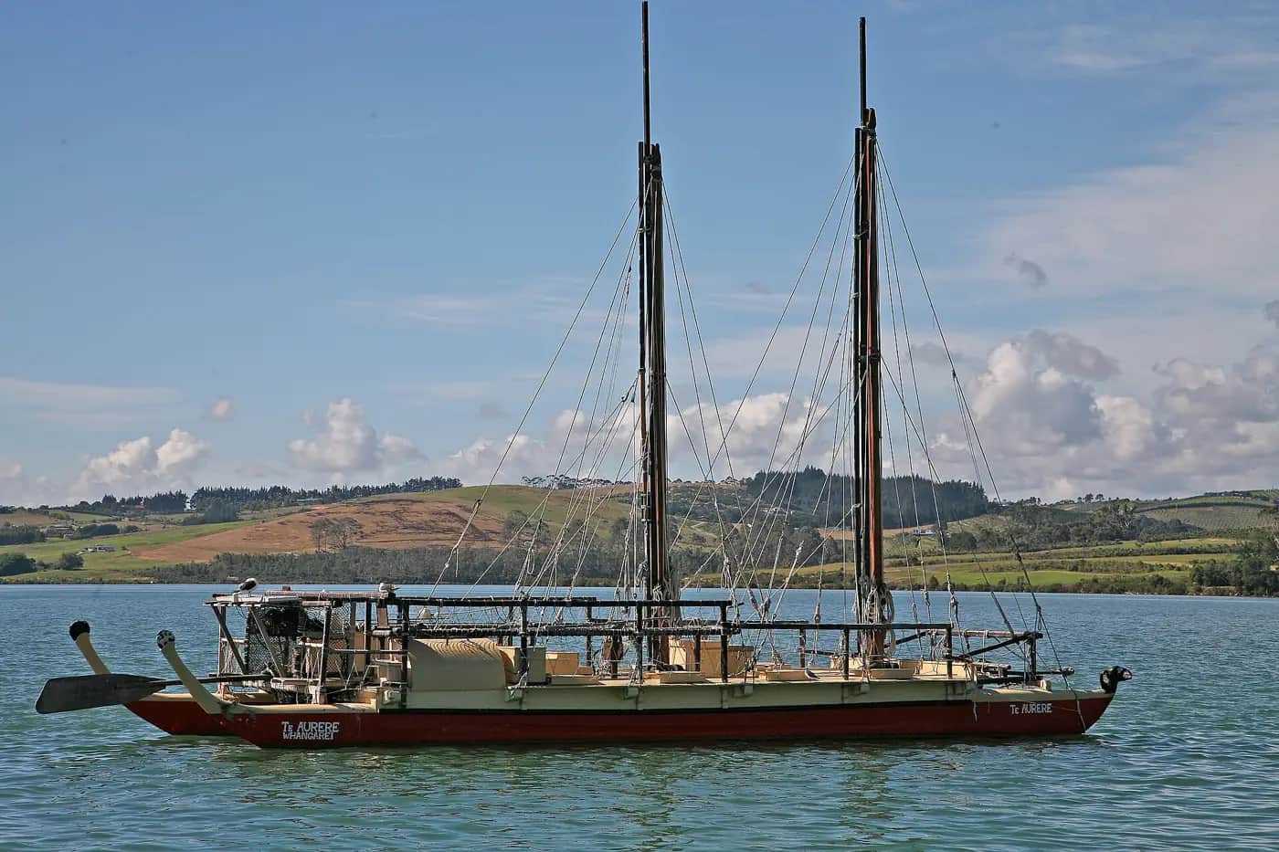
Prep: borrow 30 m tape measures, trundle wheels, string, cones and at least one baseplate compass per group (outdoor education stores, Orienteering NZ clubs and Sport NZ regional trusts often lend class sets; phone compass apps work as a back-up). Print an aerial photo of the school from LINZ Basemaps or the council GIS viewer and a Topo50 sheet of your area (free PDF via the LINZ Topo50 map chooser). Safety: set clear boundaries for outdoor mapping, keep students away from car parks, roads and building sites, check the ground for hazards, and use sunscreen and hats. Any off-site visit (park, reserve, farm) needs the usual EOTC risk assessment, adult ratios, permission from landowners, and a check of DOC's Know Before You Go and the weather. The water-and-clay contour activity needs towels and wiped-up spills. Cultural care: the star compass (kāpehu whetū) is living knowledge revived by Pacific and Māori navigators such as Mau Piailug, Nainoa Thompson, Sir Hekenukumai Busby and Jack Thatcher. Teach it as their knowledge, use the Science Learning Hub material, invite a local waka ama or voyaging group if you have a relationship, and avoid students 'inventing' star names or house names; they study the maths of the circle and design their own compass rose for the school map. Place names on maps should use correct macrons and, where possible, the story of the name from mana whenua through the school's iwi relationships. Differentiation: start with a first-quadrant grid and four compass points; extend to four quadrants, eight and sixteen points, degrees, map scales as ratios and real bearings with magnetic declination. Students who find measuring hard can be the 'recorder' or 'tester' roles; confident students can combine transformations or plan a longer bush route with contour reading. Tohu asks one question when groups check their course, about how they know a clue leads to the right spot; it never gives answers. Links: pairs well with Kōkiri Lab land and water worlds (contour lines explain where water goes) and PE outdoor education.
Plan this world into any term with the two-year planner. Students can record their thinking in their Kōkiri Learn portfolio.
More Mathematics and Statistics worlds



Ready to run it with your class?
Free trial for NZ schools. One combined Years 7–8 class, any term.